
Giving operations a view of the field.
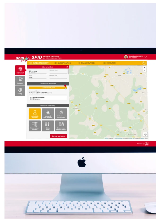
A mapping interface to plan drone missions, mark out areas and coordinate field operations.
This project is part of the Kasual Business portfolio. The screenshot shows the version documented at the time of the project.